THE BIG STORY: McCarthy Woods and The NCC.
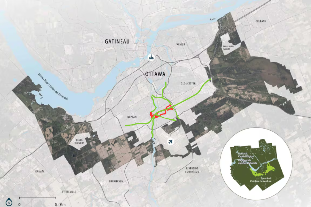
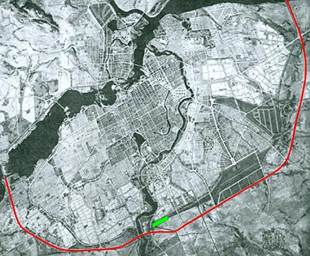
Between Mooney’s Bay and The Greenbelt; McCarthy Woods serves as a corridor north-west to south-east as well as across Rivergate from the Rideau River to The Greenbelt via the Airport or along Greenboro through to Hawthorne

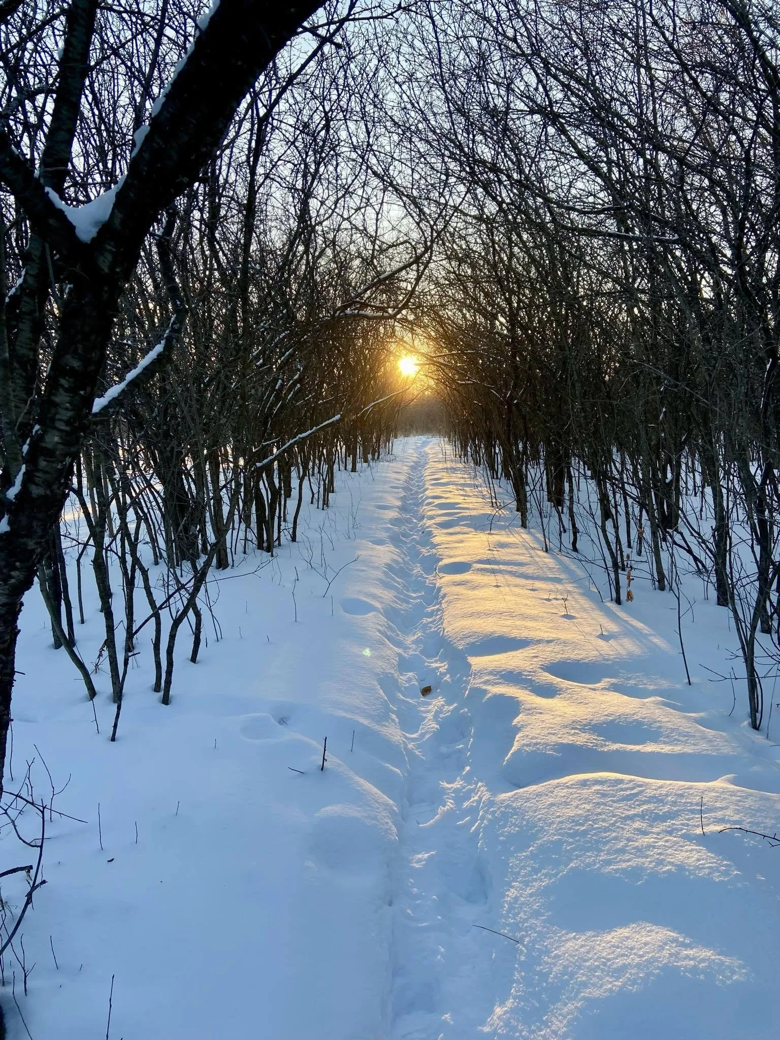
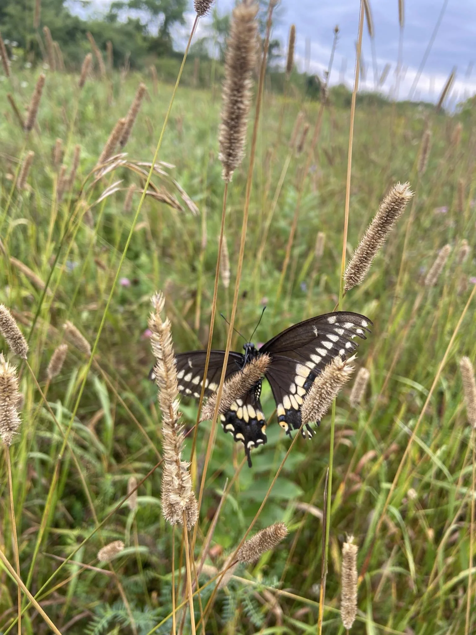
The Woods Provide Important Cooling
Photosynthesis causes respiration which produces cool and clean oxygen. This is essential as heat waves are getting stronger. Having nature refuges with large singular intact canopy cover and vegetation producing cool clean air will relieve not just those in the woods, but also the houses and streets nearby.

The NCC is being less than forthright
We had meetings promised several times, even a few scheduled, including on June 2nd, which were off-handedly postponed.
Beyond being disrespectful to stakeholders and local community organizations, the NCC has been unreasonable opaque and uncooperative relating to these lands. Poor conduct for government bodies.

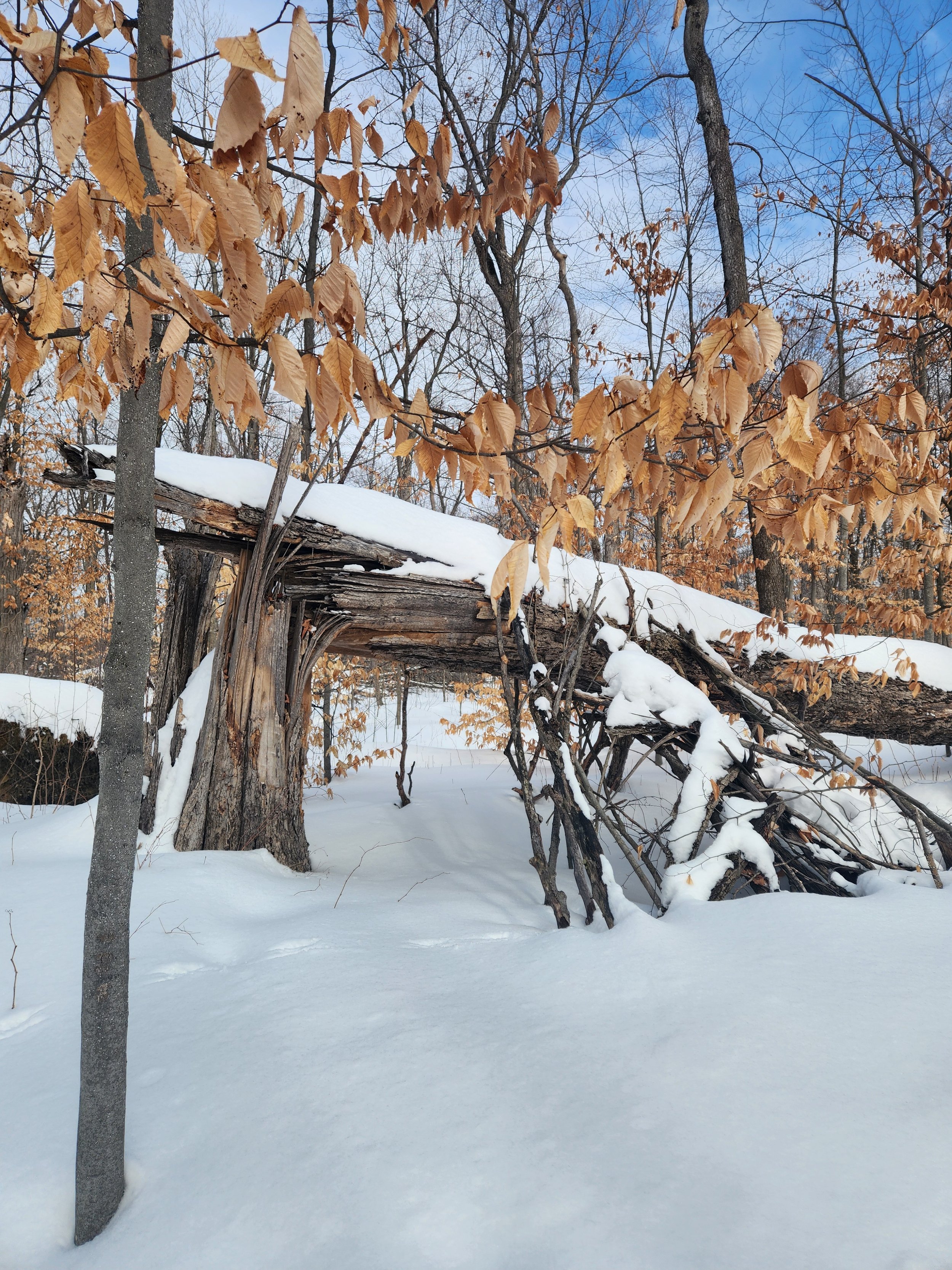
The NCC did zero consultation - and we’d argue not even visiting the lot to notice paths after fresh snow, or the constant neighbours and animals present in these woods - and determined that this land was not being used.
This land is extensively used visited and inhabited, and producing benefits.
The NCC doesn’t see it this way and declares it “underutilized” (by them). Their solution to it “underutilize” is to destroy what is here, and who is already using the land.
Unfortunately the rights of the deedholder doesn’t comfort the inhabitants when the absentee landlord renovicts.
The NCC won’t listen to the community; it has no regard for the flora and fauna, and it will degrade the quality of the land through impermeable surfaces, reduces canopy cover, etc
The NCC is not a kinder type of landlord, it seems. The NCC is not stewarding the land, merely commandeering the area.
The NCC’s fake “problem” with McCarthy Woods and its inappropriate “solution”

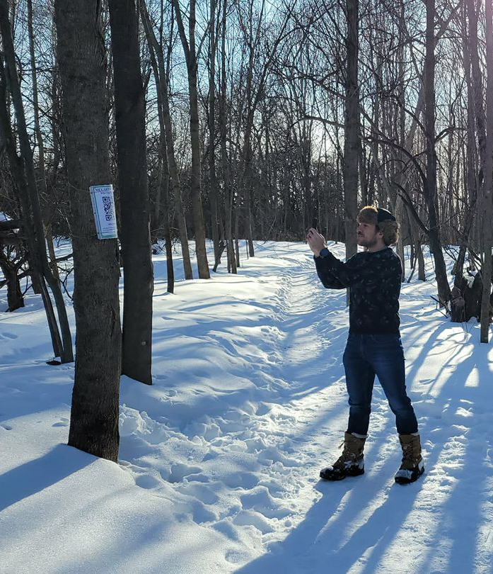
Who Visits The Woods was an impromptu survey done at the beginning of 2026. Upon learning of the NCC’s claims that the lands were not used, OSEAN volunteers created a survey accessible by QR codes tied to trees - to make sure we only got the most hardcore of outdoor enthusiast!
That’s right; in the forest, we hoped people would get their phones out of their pockets, in -25° weather, scan a random QR code, and fill out our survey. How unlikely a thing to happen. Too much to expect.
OVER 300 RESPONSES from the End of January until the End of April!
Canada is a country deeply tied to its nature, and that is not just the distant woods far from us, but also living surrounded by nature. The NCC has a constitutional mandate to steward their lands, and the wonton disregard and lack of maintenance of this parcel - significant in both size and quality - is unacceptable.
Canadian Identity, Lifestyle, and Values
The Community both Cherishes the Woods deeply, and have distaste for NCC tactics
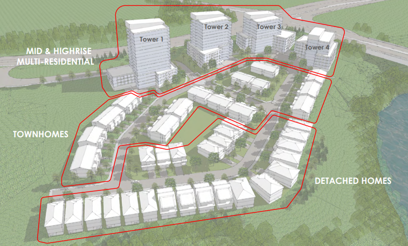
At the end of 2025, a member of the Riverside Park Community had noticed that in 2022, the Beloved McCarthy Woods (backdrop to the Hunt Club - Riverside Community Building from where they are based and where they have a lot of community life focused around) was quietly rezoned from greenspace to development reserve. The NCC hadn’t asked, and declared the lands underused. Since then, the community has been building a case that shouldn’t need to be.
Media and Other Responses
·
Sustainability
Climate
·
Community
·
Environmentalism
· Sustainability Climate · Community · Environmentalism


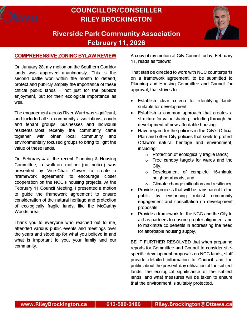
Municipal Support; Our Champion At Town Hall
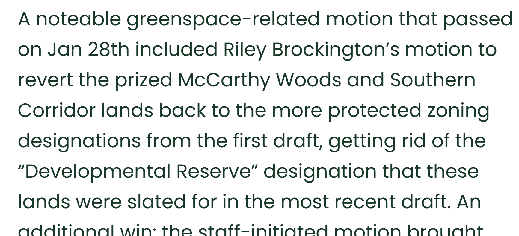
Throughout this process, the HCCA, RVCA, and OSEAN have found a Champion for McCarthy Woods in Councilor Riley Brockington. He brought forward a motion for bylaw zoning to revert lands back to green use. This motion was accepted unanimously Dec 17th, 2025 and a further mother accepted with only 1 vote against on Jan 28th, 2026.
Despite municipal leaders fixing this zoning problem when brought to attention, the NCC is steadfastly staying the course.

Showing Mayor Sutcliffe the results of our Who Visits the Wood Survey, advocating for McCarthy Woods’ continued integrity
FAQs
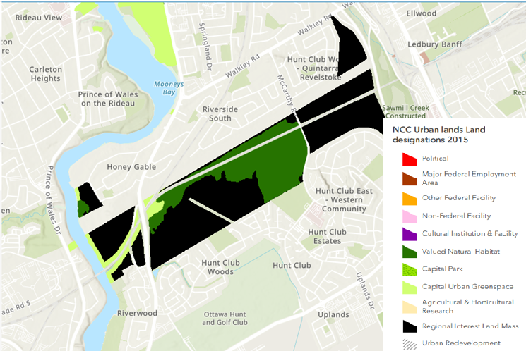
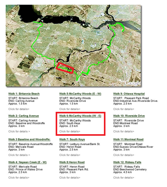
Where is McCarthy Woods?McCarthy Park is located between Riverside and McCarthy, mostly south of the railroad which passes through. It is accessible from South Keys and Walkley Stations, ~25min walking. Also ~25min walking from Mooney’s Bay.
Accessible by Buses 90 and 105
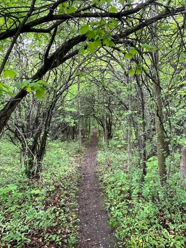
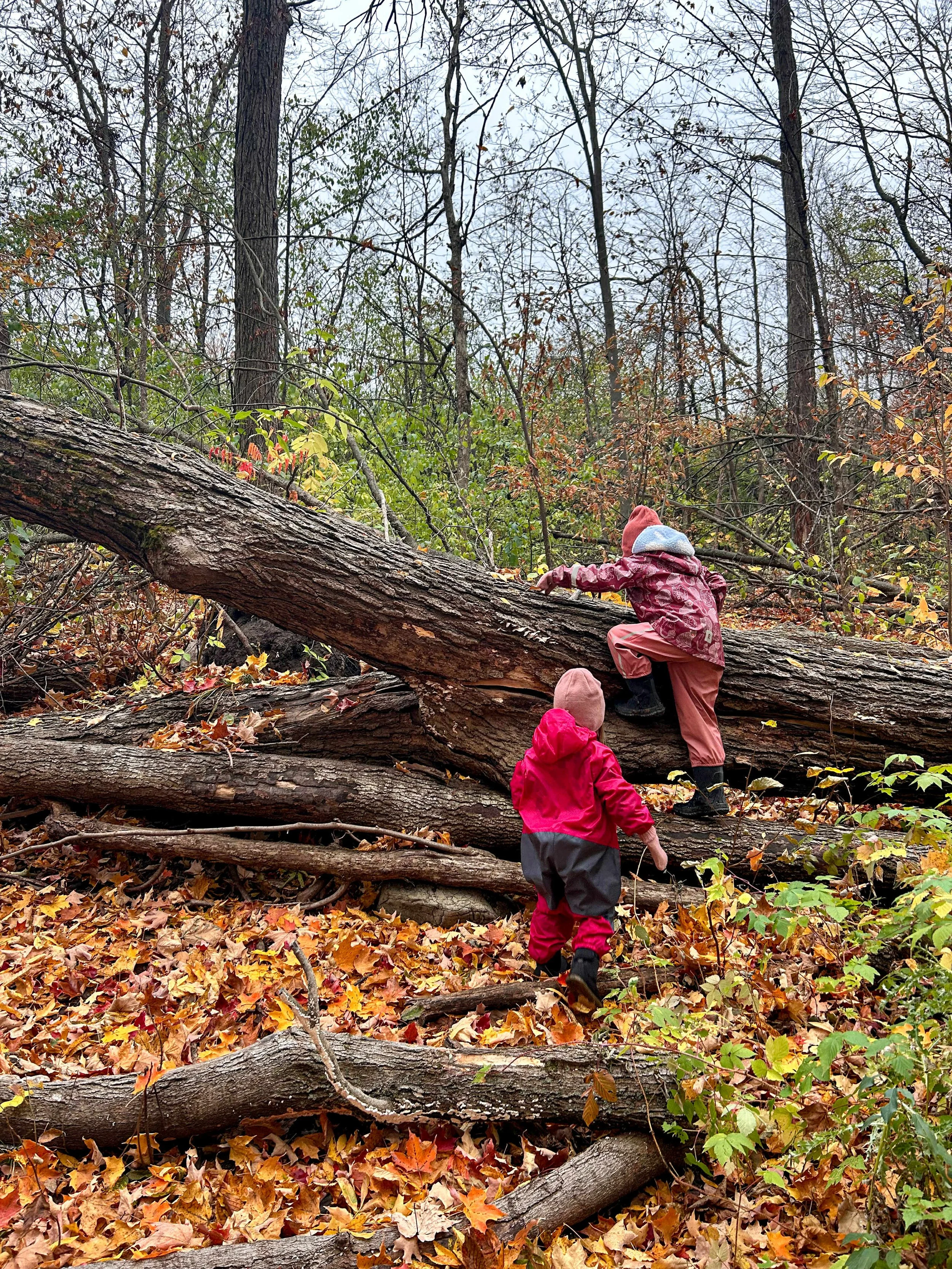
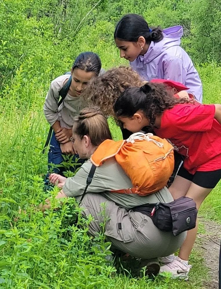
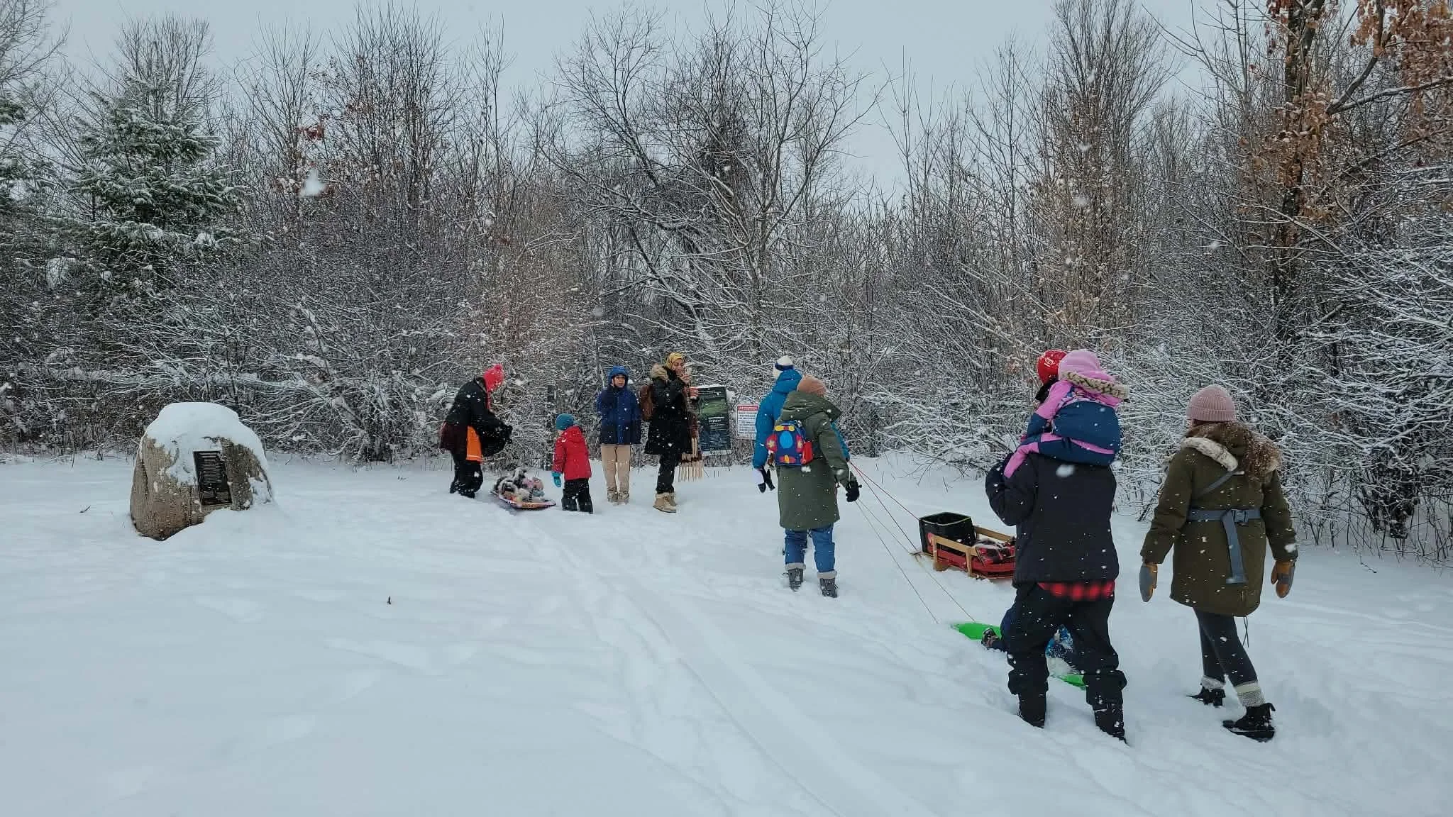
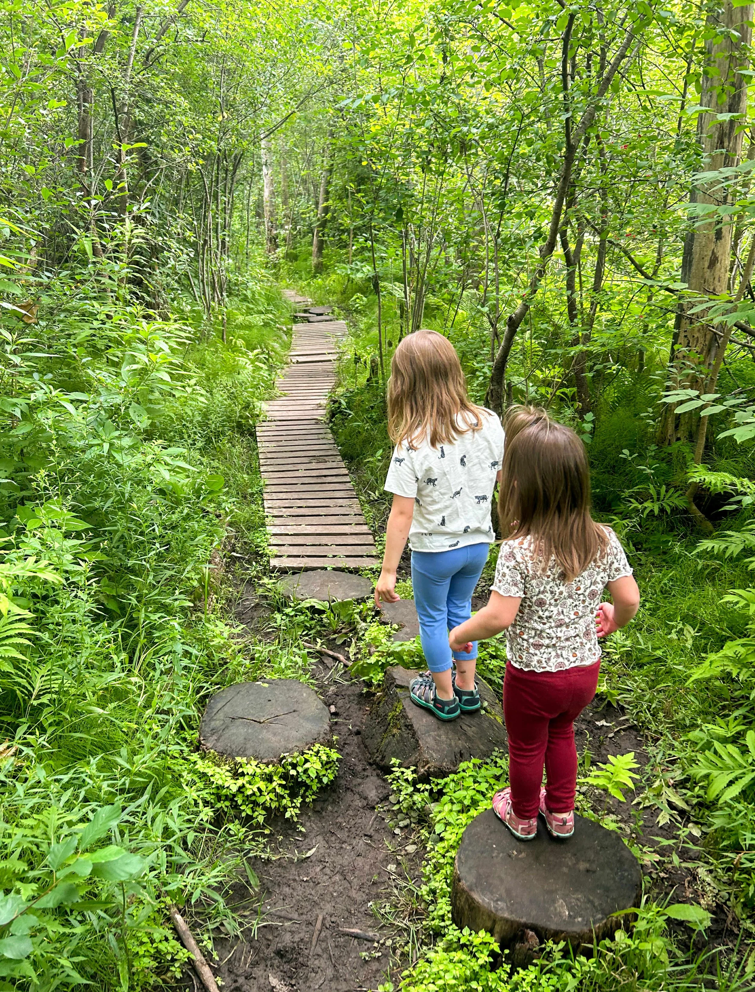
Can I visit? Yes! You can go alone, or with friends. Many groups organize walks through McCarthy Woods.
These lands have narrow and uneven paths in some places. It is accessible to most people, cyclists, and off-rad equipped accessibility devices.
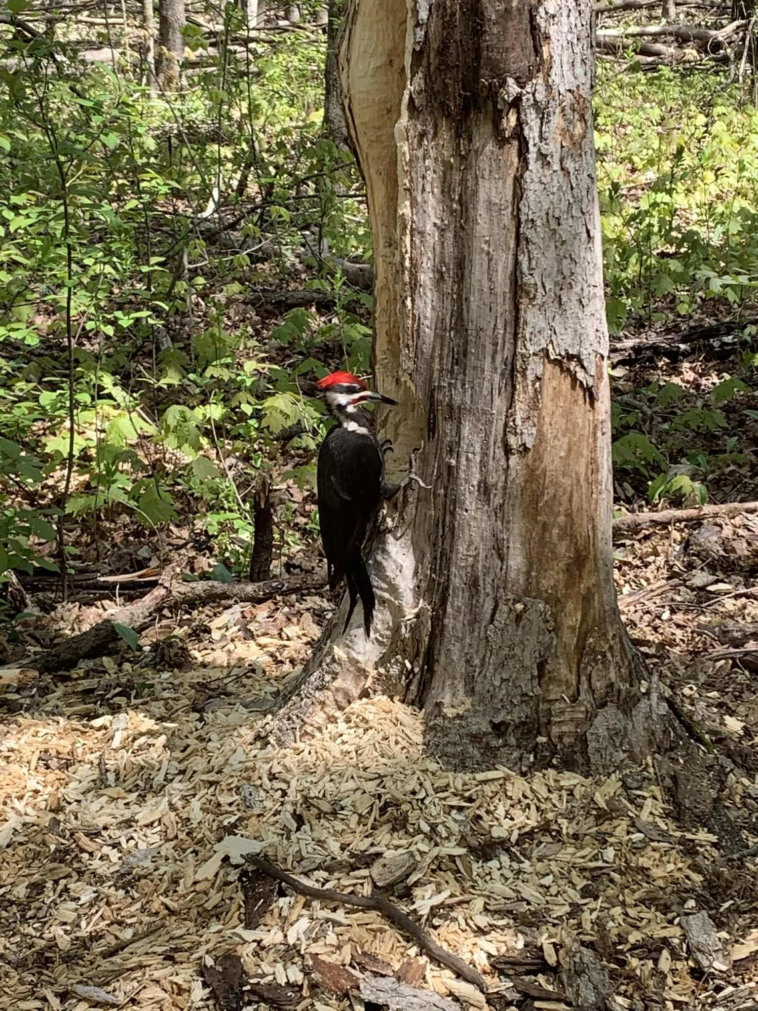
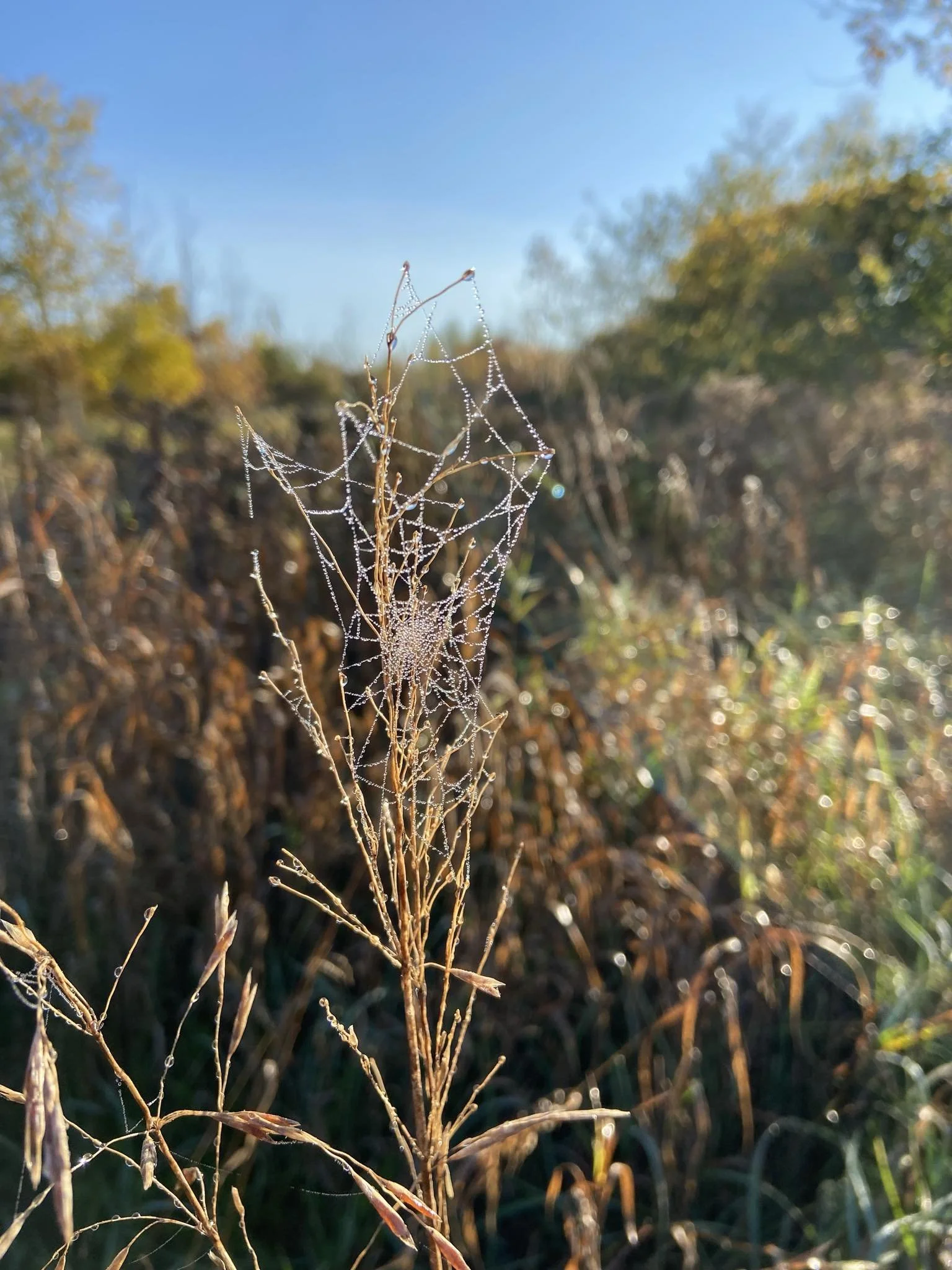
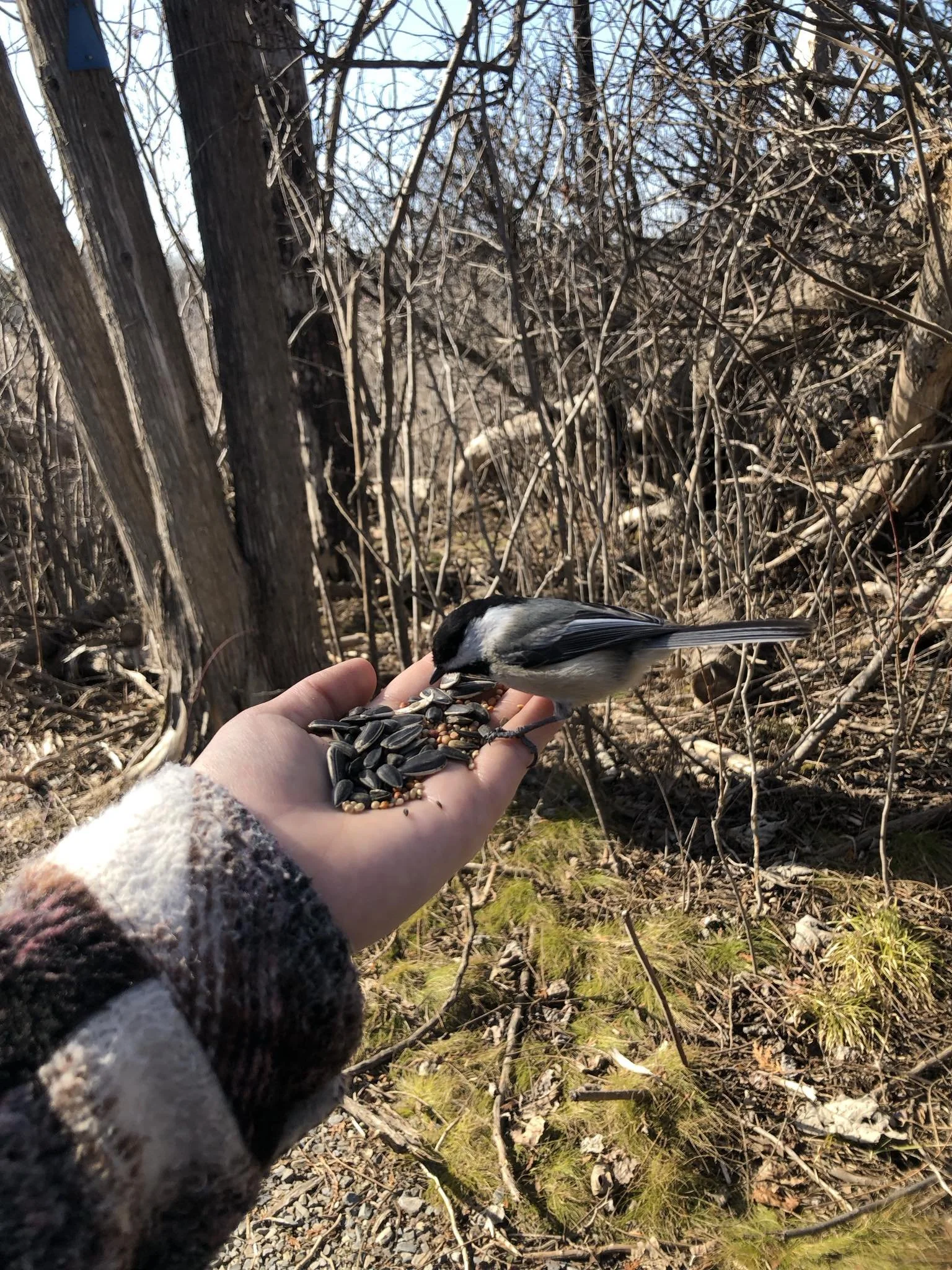
What can I do there?The first thing is to admire nature. Be that photography, listening to birdsong, meditation, exercise, or whatever what you wish - respect nature
Everything you take it also leaves with you
Please no littering, including human food and packaging, companion poop, cigarette butts, etc
There are community organized walks and other events and activities within these natural areas.
Connected. Integrated.
Keep it whole
Ottawa's Hunt Club Community - Our History
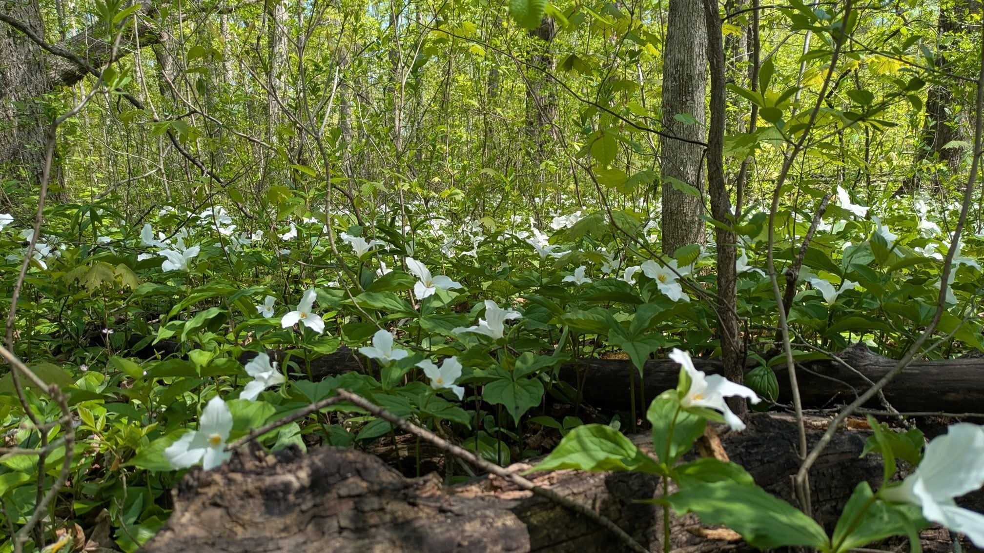
Our area was called The Uplands by early settlers - it was one of the first to emerge from the glacial Champlain Sea, which results in a number of unique plant communities in the area, notably at the Leitrim wetland. As late as Col.By's surveys for the Rideau Canal, it was still heavily forested.
No evidence has been found of any human presence prior to European settlement. The Rideau River then was a series of sloughs infested with malaria (Plasmodium vivax, not the more lethal African P.falciparum) most of the year before Col.By began work, and was rarely used by indigenous peoples. By's surveys had to be done in the winter because the route was close to impassable during summer.
How McCarthy Woods Can Rest Safe
-

Give These Lands Permanent Protections
The NCC says there are currently no plans to develop, but they’re opening the door by switching it to development reserve. Stop this.
-

Stronger Consultation Requirements
Quorum, canvassing, community association outreach, or other means to assure appropriate public engagement.
-
Integrate NCC with Federal Nature Plan
The NCC is inappropriately burdened with the expectation for find land for houses. This is not in line with its rmandate or federal nature plan.
-

Change of Guard
Having different interests is an inevitability of having projects that affect multiple stakeholders. Not playing by the rules and instead dodging meetings and making backroom deals is not the conduct of honest leaders. Unfortunate conduct unfortunately requires addressing.
Community groups support densification around mixed-used zoning. More of the same car-dependent sub-divisions is not taking action for the future.
Community groups organizing to protect McCarthy Woods are not doing it out of NIMBYism. The HCCA supports development nearby at 3930 - 3960 RIverside. These lands are less environmentally valuable and do not provide the same degree of environmental services. Beyond that, the HCCA encourages MORE AFFORDABLE UNITS as well as MIXED USE zoning and COMPREHENSIVE TRANSPORTATION PLANS which seem to be lacking in current iterations of plans and proposals.
Infrastructure costs scale not with population, but with land. Low density zoning is an urban model that is not economically sustainable.
There are many lands within Ottawa - be they city lawns, highway buffer areas, parking lots, and other parcels - that are not actively providing passive benefits in the same way these lands are.
Protect the corridor.
Infill, and pivot from long-commute car-dependency planning and forced lifestyles that are bad for personal health, municipal finances, and day-to-day quality of life.
There are already thousands living on these lands

Everyone
Should Have A Home