
Media Coverage of the Fight to Protect the McCarthy Wilderness
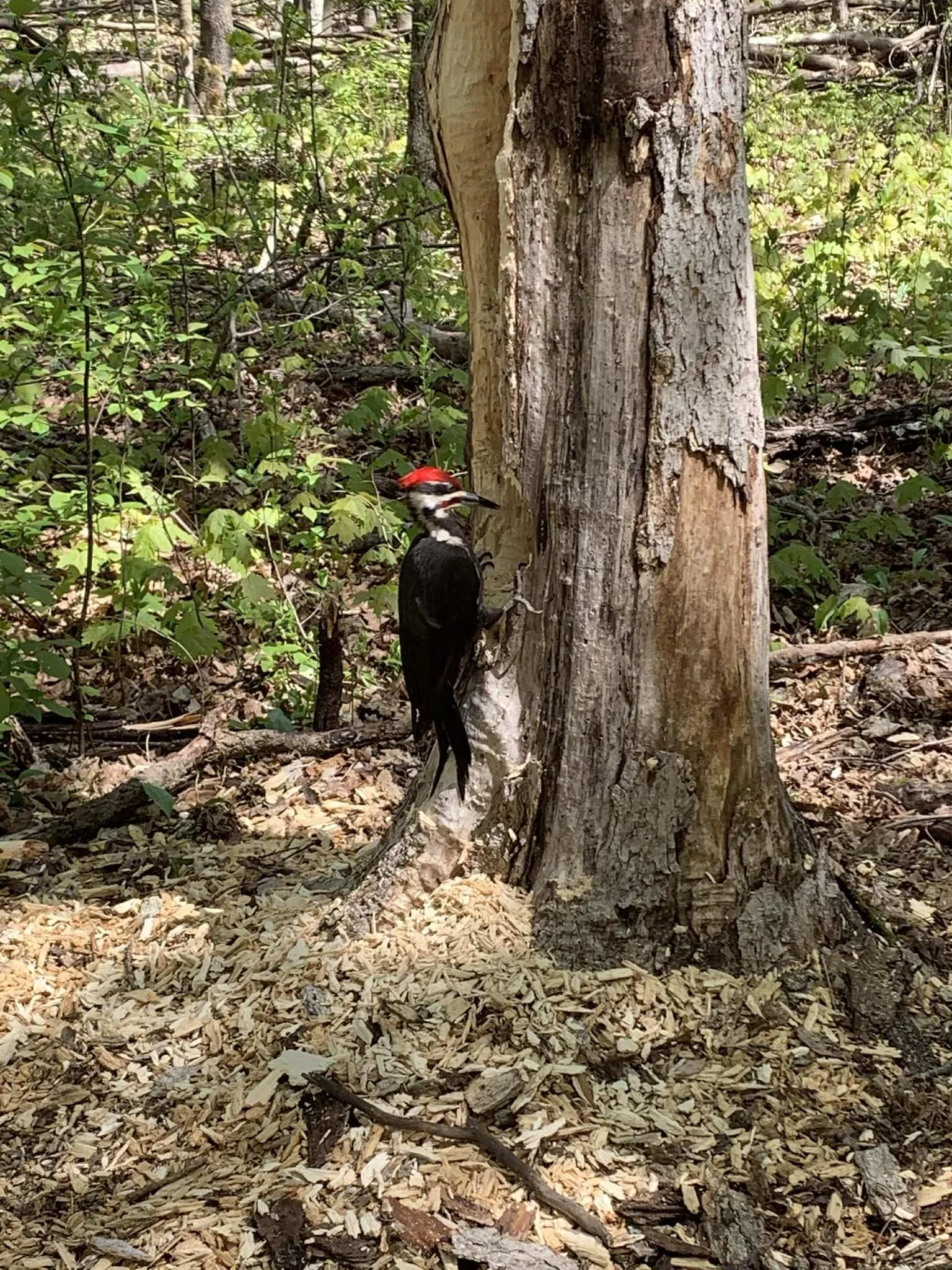
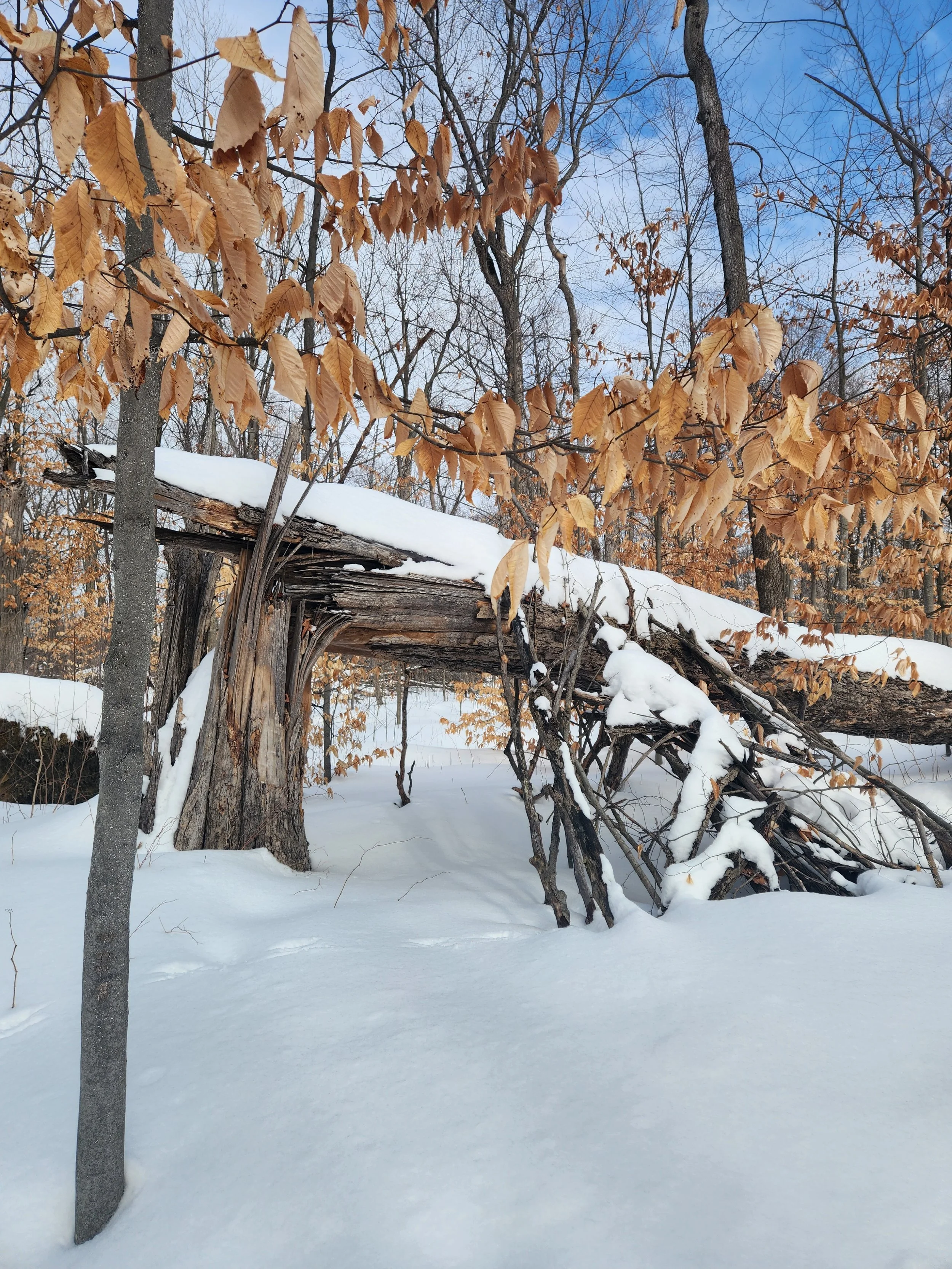
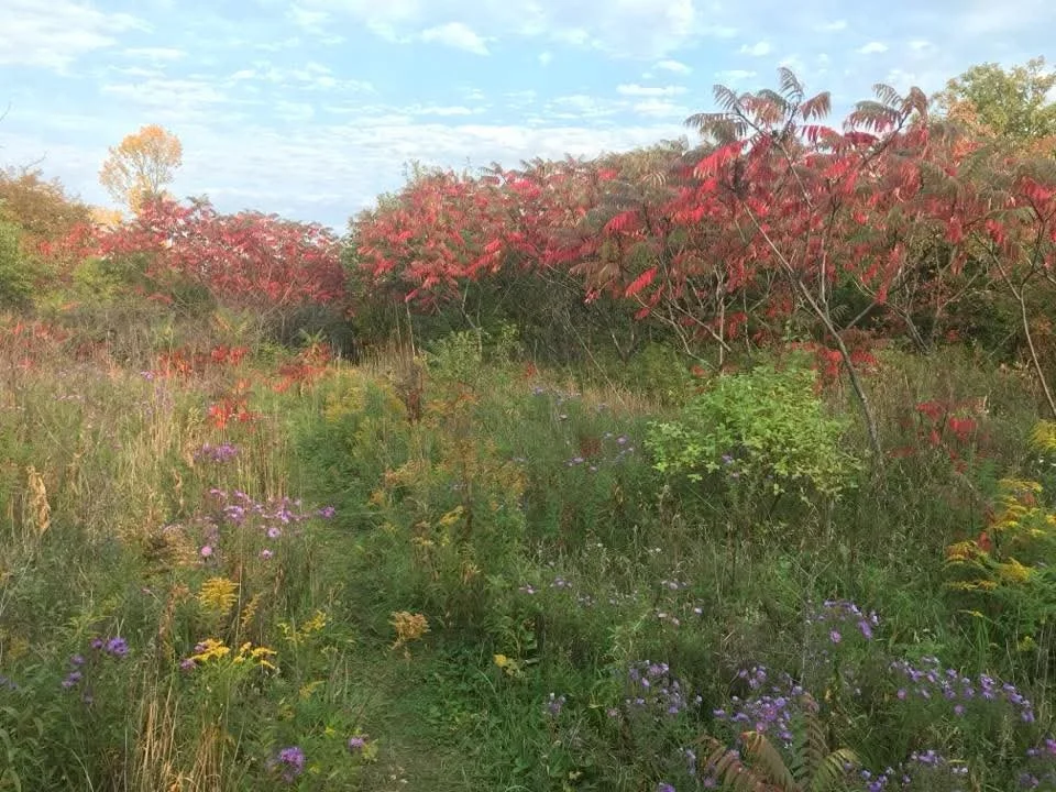
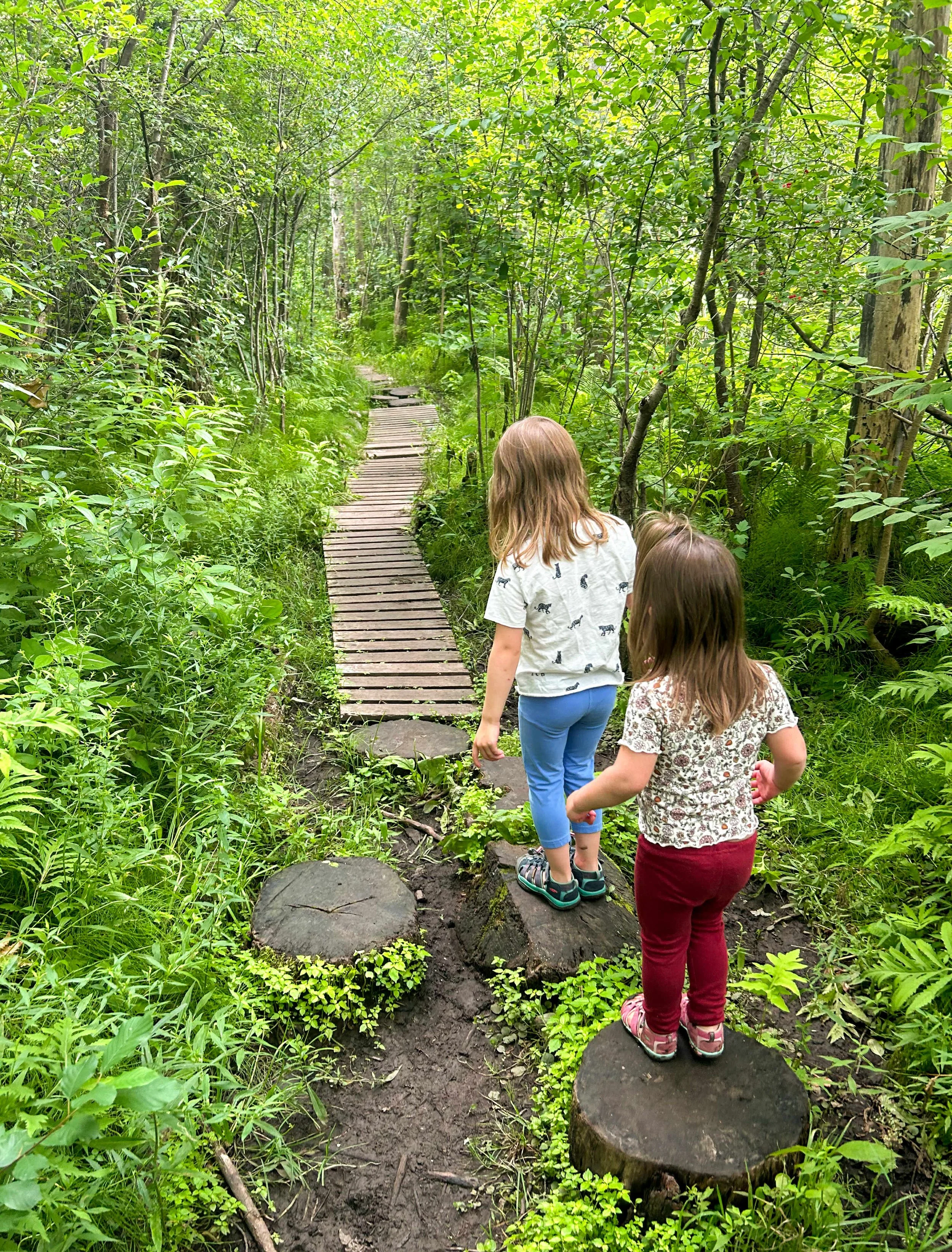
NCC is appealing the City of Ottawa Zoning’s Plan
CKCU FM: ON Demand Monday Special Blend Radio Show, July 2026
·
Sustainability
Climate
·
Community
·
Environmentalism
· Sustainability Climate · Community · Environmentalism
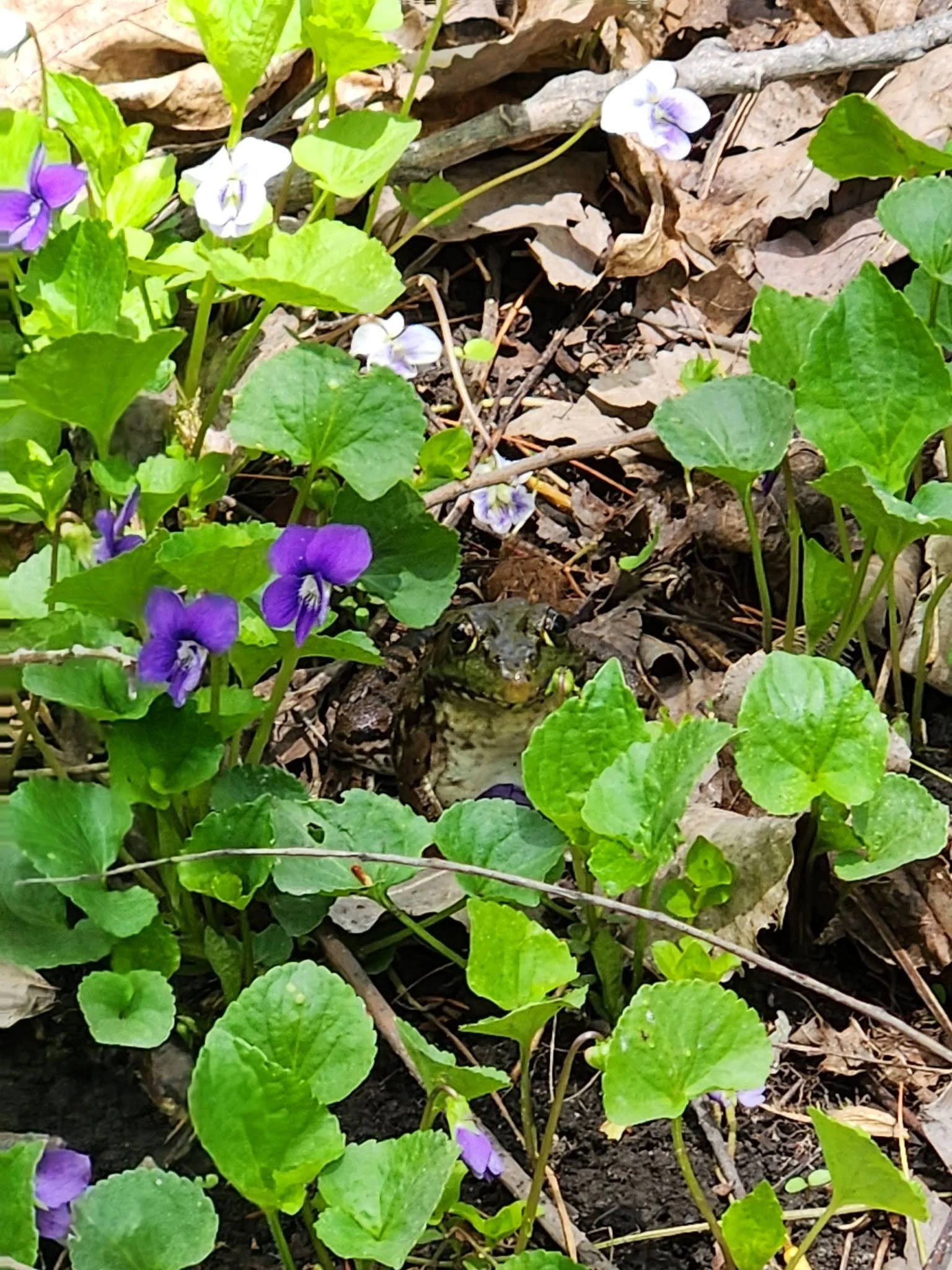
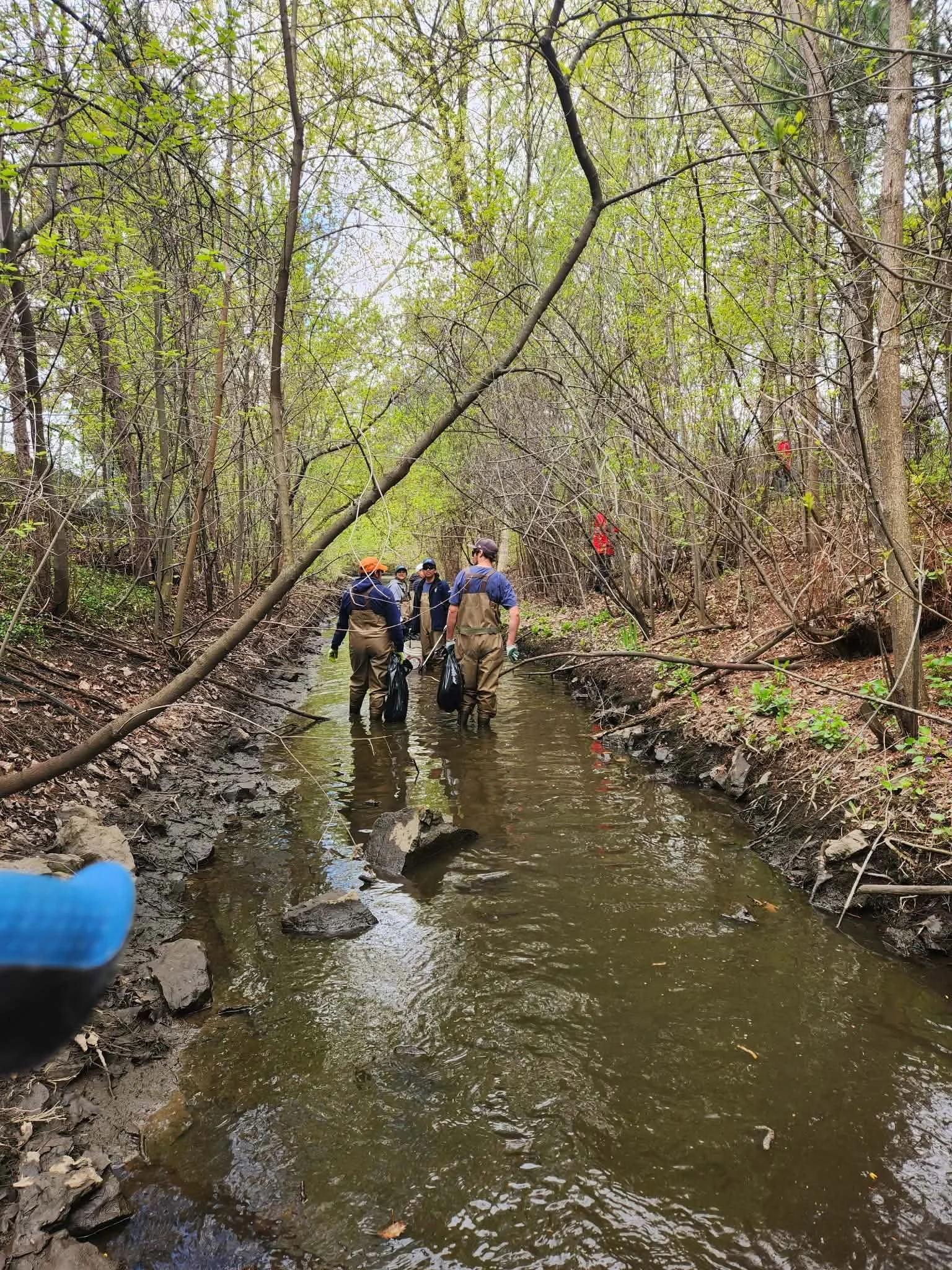
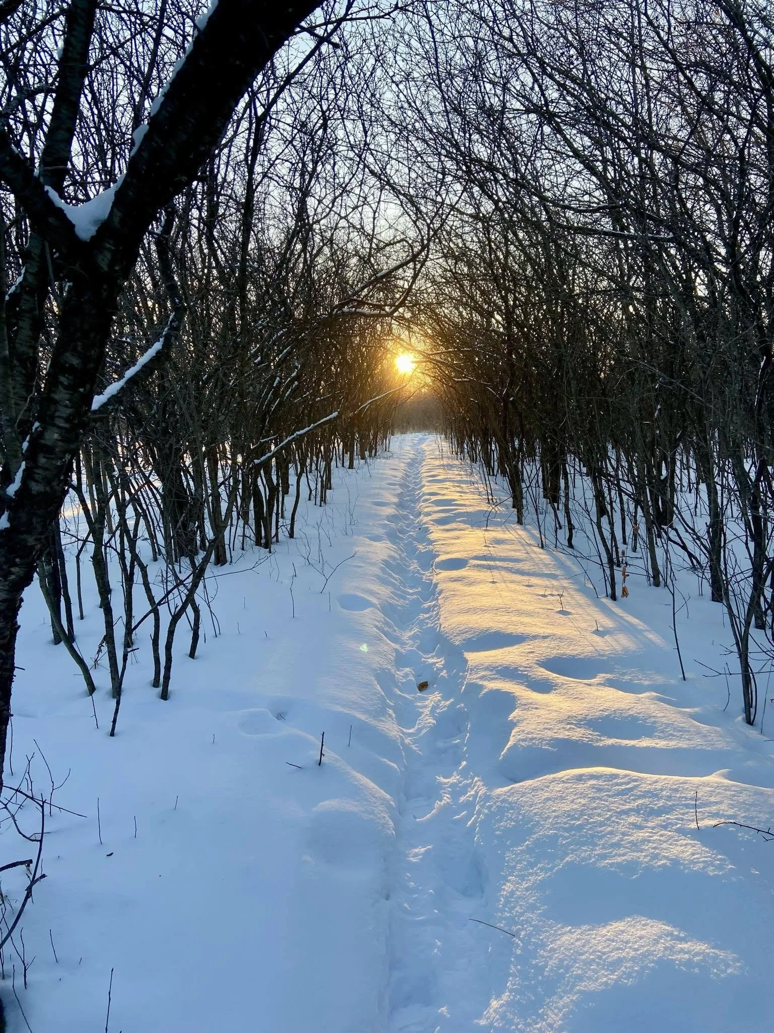
Municipal Support; Our Champion At Town Hall
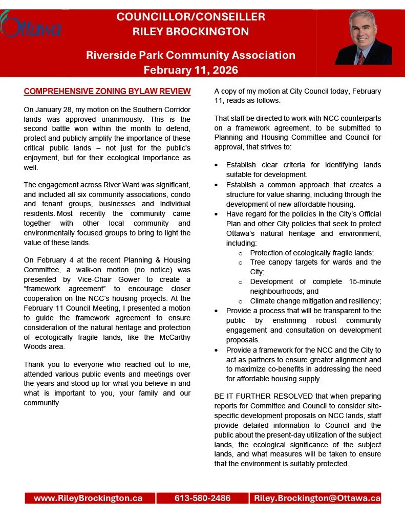
Throughout this process, the HCCA, RVCA, and OSEAN have found a Champion for McCarthy Woods in Councilor Riley Brockington. He brought forward a motion for bylaw zoning to revert lands back to green use. This motion passed Dec 17th, 2025 and a further motion approved unanimously on Jan 28th, 2026.
Despite municipal leaders fixing this zoning problem when brought to attention, the NCC is steadfastly staying the course and now appealing the zoning decision at the Ontario Land Tribunal.
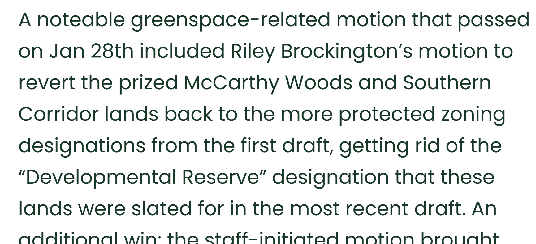
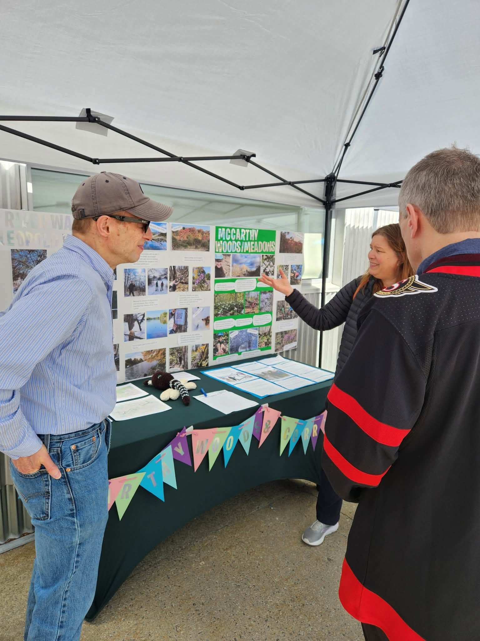
Showing Mayor Sutcliffe the results of our Who Visits the Wood Survey, advocating for McCarthy Woods’ continued integrity
FAQs
Where is McCarthy Woods?McCarthy Park is located between Riverside and McCarthy, mostly south of the railroad which passes through. It is accessible from South Keys and Walkley Stations, ~25min walking. Also ~25min walking from Mooney’s Bay.
Accessible by Buses 90 and 105
Can I visit? Yes! You can go alone, or with friends. Many groups organize walks through McCarthy Woods.
These lands have narrow and uneven paths in some places. It is accessible to most people, cyclists, and off-rad equipped accessibility devices.
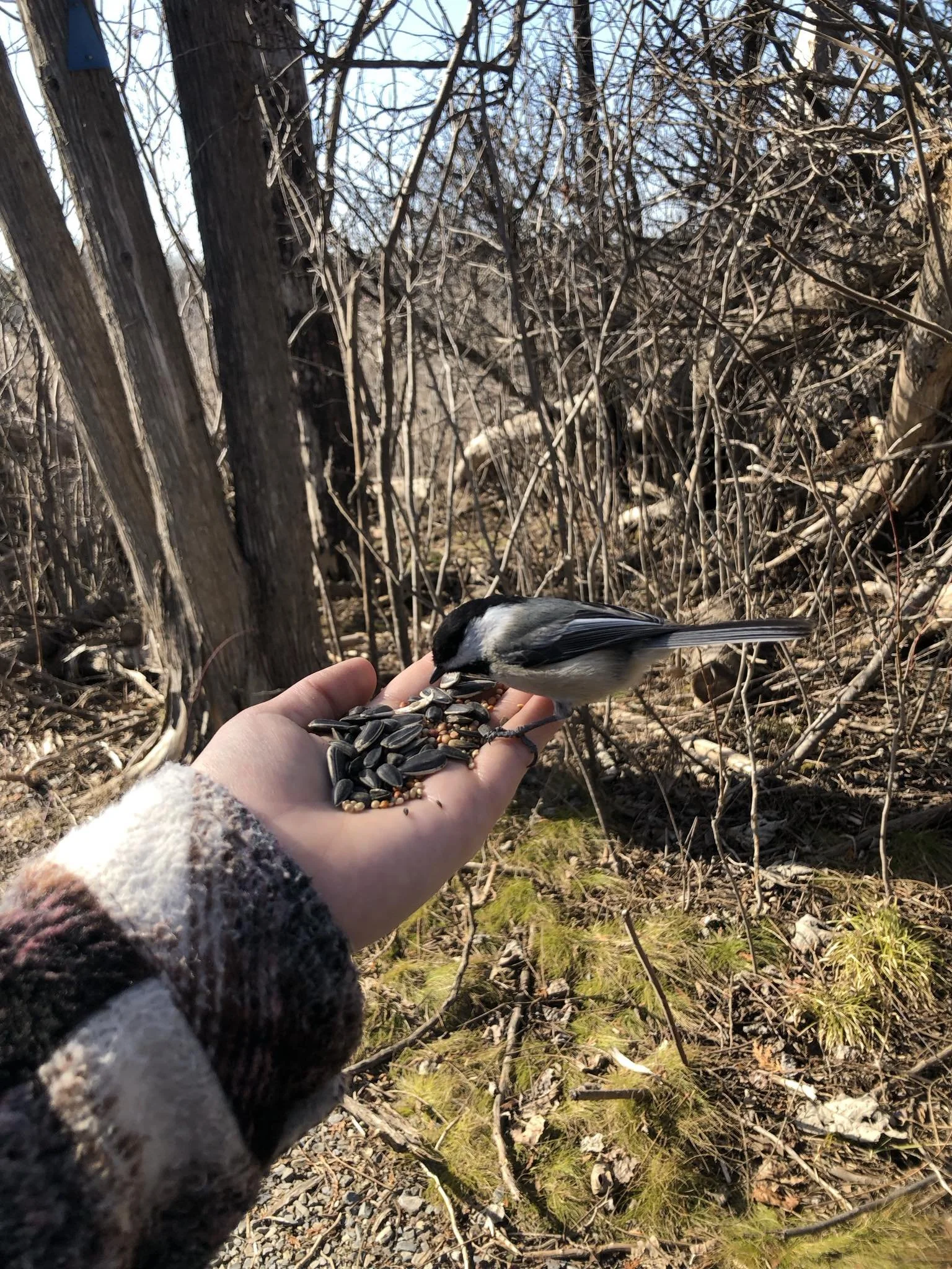
What can I do there?The first thing is to admire nature. Be that photography, listening to birdsong, meditation, exercise, or whatever what you wish - respect nature
Everything you take it also leaves with you
Please no littering, including human food and packaging, companion poop, cigarette butts, etc
There are community organized walks and other events and activities within these natural areas.
Connected. Integrated.
Keep it whole
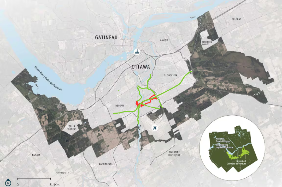
Ottawa's Hunt Club Community - Our History
Our area was called The Uplands by early settlers - it was one of the first to emerge from the glacial Champlain Sea, which results in a number of unique plant communities in the area, notably at the Leitrim wetland. As late as Col.By's surveys for the Rideau Canal, it was still heavily forested.
No evidence has been found of any human presence prior to European settlement. The Rideau River then was a series of sloughs infested with malaria (Plasmodium vivax, not the more lethal African P.falciparum) most of the year before Col.By began work, and was rarely used by indigenous peoples. By's surveys had to be done in the winter because the route was close to impassable during summer.

7 Questions - 0 Answers
How is the land determined suitable
How the NCC defines “underutilized”
How decisions are made between development and conservation
Why some greenspace may be considered while other sites may be available
Access to information on ecological value
Role of research and partnerships
Processes in place to ensure transparency, meaningful public consultation, and long-term alignment with the NCC’s long-term planning and environmental stewardship commitments
970 Words
6 minutes speaking
None of the questions addressed directly
130 words of disparaging dismissal
“consistent with what I spoke about earlier, in terms of the government directing us to ensure that we’re contributing to achieving the housing needs of the National Capital region.”
How McCarthy Woods Can Rest Safe
-

Give These Lands Permanent Protections
The NCC says there are currently no plans to develop, but they’re opening the door by switching it to development reserve. Stop this.
-

Stronger Consultation Requirements
Quorum, canvassing, community association outreach, or other means to assure appropriate public engagement.
-
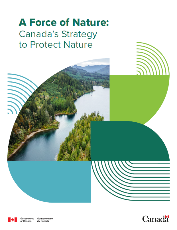
Integrate NCC with Federal Nature Plan
The NCC is inappropriately burdened with the expectation for find land for houses. This is not in line with its rmandate or federal nature plan.
-

Change of Guard
Having different interests is an inevitability of having projects that affect multiple stakeholders. Not playing by the rules and instead dodging meetings, refusing any transparency, making backroom deals, dismissing concerns, rejecting research, or any communication with affected stakeholders is not the conduct of good leaders of public institutions. Unfortunate conduct unfortunately requires addressing.
Community groups support densification around mixed-used zoning. More of the same car-dependent sub-divisions is not taking action for the future.
Community groups organizing to protect McCarthy Woods are not doing it out of NIMBYism. The HCCA supports development nearby at 3930 - 3960 RIverside. These lands are less environmentally valuable and do not provide the same degree of environmental services. Beyond that, the HCCA encourages MORE AFFORDABLE UNITS as well as MIXED USE zoning and COMPREHENSIVE TRANSPORTATION PLANS which seem to be lacking in current iterations of plans and proposals.
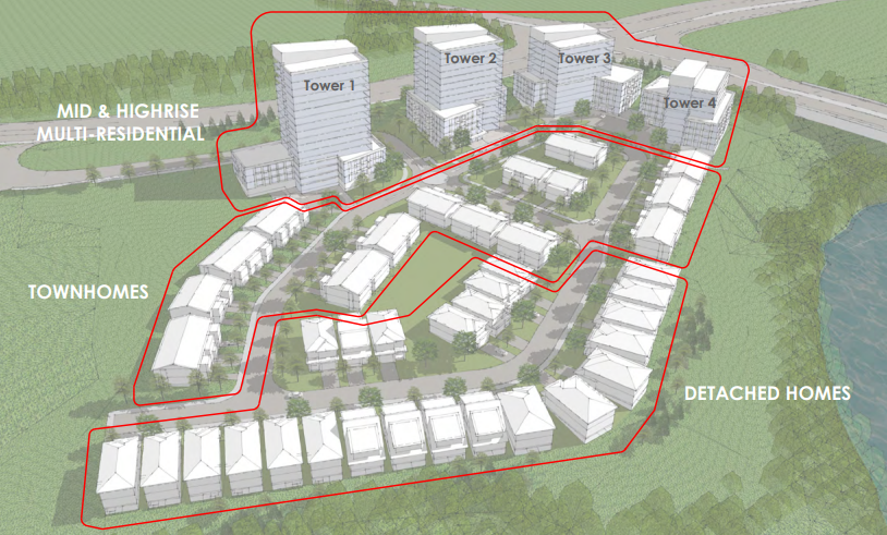
Infrastructure costs scale not with population, but with land. Low density zoning is an urban model that is not economically sustainable.
There are many lands within Ottawa - be they city lawns, highway buffer areas, parking lots, and other parcels - that are not actively providing passive benefits in the same way these lands are.
Protect the corridor.
Infill, and pivot from long-commute car-dependency planning and forced lifestyles that are bad for personal health, municipal finances, and day-to-day quality of life.
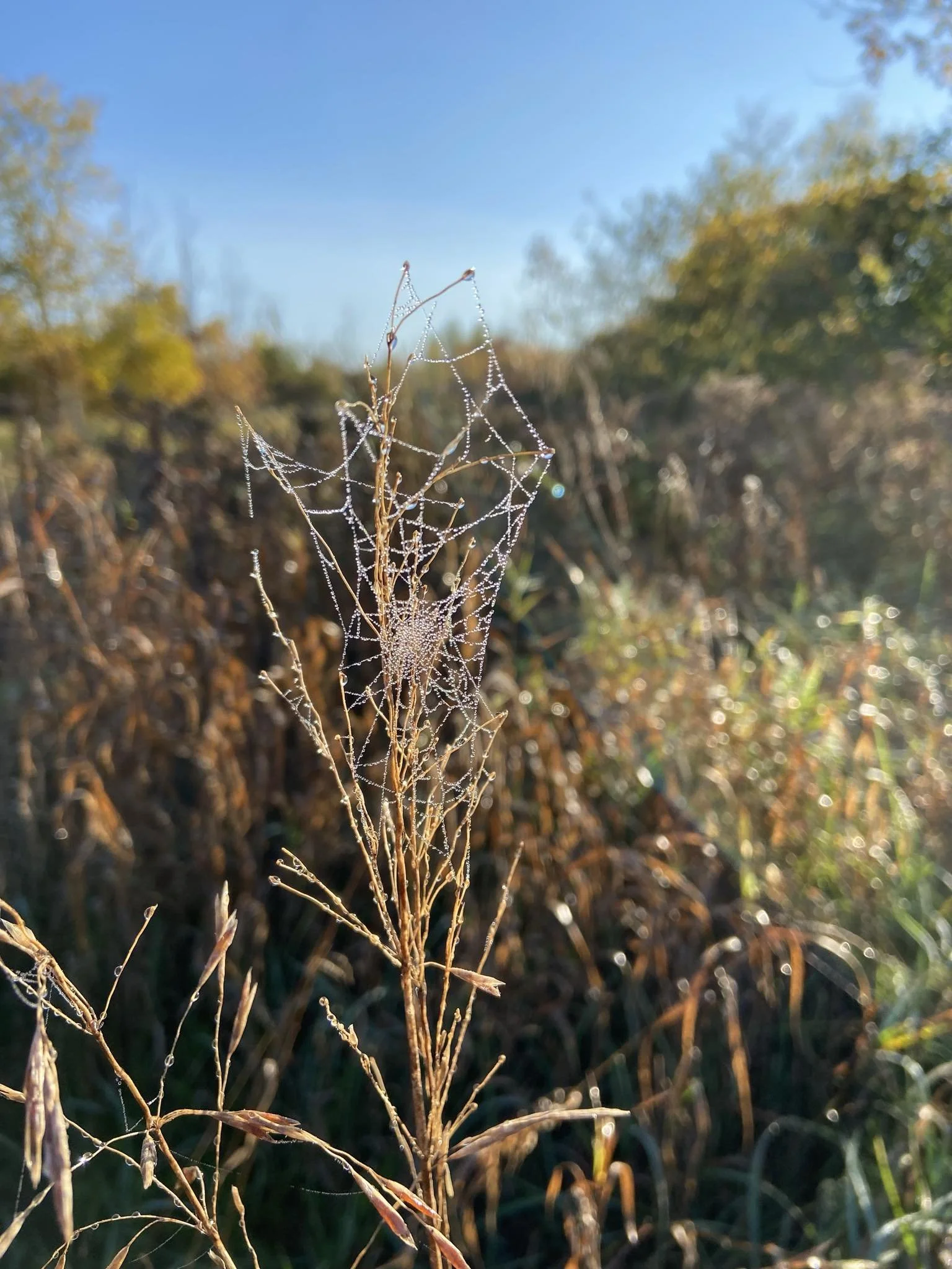
There are already thousands living on these lands

Everyone
Should Have A Home